Industrial
/
Transforming Industrial Operations with Precision Imaging
Industrial sites grapple with complex layouts, aging equipment, and unplanned downtime—issues that manual inspections can’t fully address.
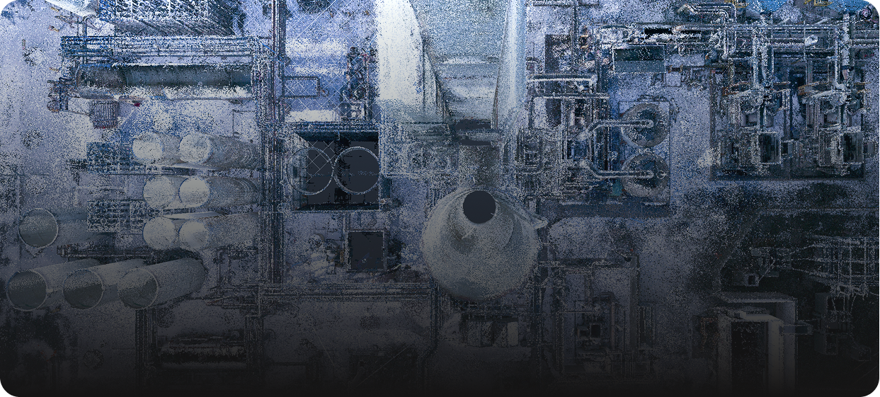
Ingenium Imaging delivers high-resolution drone mapping, 3D laser scans, and virtual walkthroughs to create accurate digital twins, enabling teams to spot problems early, streamline workflows, and minimize production interruptions.
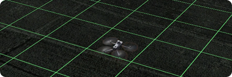
How Our Technology Integrates


Solutions We provide

Centralized Facility Intelligence
Consolidate up-to-date plant layouts, process lines, and equipment schematics into a single dashboard for optimized operations and cross-department collaboration.
Crop Health Monitoring.
Accelerated Renovation Planning
Leverage high-precision 3D scans and annotated visuals to eliminate manual measurements, reduce safety risks, and fast-track equipment upgrades and facility expansions.

Equipment & Asset Verification
Standardize visual records of boilers, compressors, switchgear, and control panels to streamline maintenance scheduling, compliance audits, and capital budgeting.
Remote Site Assessments
Conduct immersive virtual walkthroughs and drone-based inspections for safety audits, regulatory compliance checks, and condition monitoring—without entering hazardous zones.
Utility & Infrastructure Clarity
Provide detailed maps of piping networks, cable trays, and utility corridors—pinpointing valves, junction boxes, and service access points to prevent unplanned outages.
Scalable Multi-Site Surveys
Coordinate turnkey survey rollouts across one facility or an entire plant portfolio with uniform data standards, centralized reporting, and dedicated field teams.
Customized Deliverables
Deliver tailored P&IDs, CAD layouts, BIM models, or virtual tours to meet the precise engineering, maintenance, and compliance needs of your industrial operations.
CASE STUDY: Ranch Cryogenics, Inc. – North Canton, OH
Smarter Relocation.
Stronger Outcomes.
One industrial plant. Two locations. Zero room for error.
To support Ranch Cryogenics’ relocation, we delivered high-precision imaging and documentation to guide every step of the process—from dismantling to reassembly.
Our solution combined:
A 3D Virtual Tour of the facility for remote reference and planning
Aerial mapping for accurate layout reconstruction
CAD site plans to guide deconstruction sequencing
A comprehensive asset inventory report for tracking infrastructure
Up to
Reduction reconstruction planning time
Up to
remote visibility for offsite coordination
Benefits of Our
Services
Operational Imaging. The intelligence behind industrial operations.
A powerful advantage for industrial operations, Ingenium’s technology delivers high-resolution imaging and real-time data analysis. From aerial mapping of plant sites and warehouse layouts to precise 3D modeling of equipment and infrastructure, we help you make data-driven decisions that boost operational efficiency, reduce downtime, and enhance safety.
Smarter Efficiency
Optimize every resource with intelligent imaging—maximizing equipment uptime, labor productivity, and material utilization.
Cost Saving
Detect equipment issues early, reduce material waste, and prevent costly downtime before small faults escalate.
Boosted Productivity
Leverage precise, data-driven imaging to optimize equipment performance, streamline production workflows, and maximize operational throughput.
Sustainable Practices
Adopt smarter, eco-friendly methods that conserve resources and support long-term growth.
Explore the tools that help you gain better data insights.
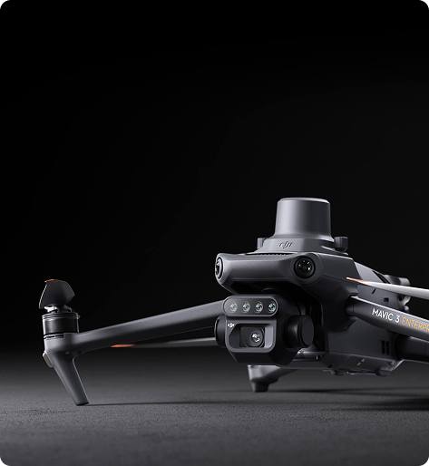
Advanced Drone & Sensor Technology
High-resolution RGB, multispectral, and thermal sensors capture detailed aerial imagery, revealing crop health, moisture levels, and soil conditions with unmatched precision.
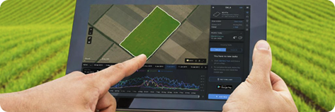
Cloud-Based Farm Monitoring
With real-time dashboards and historical data tracking, monitor field conditions from anywhere and predict yield outcomes to optimize planting and harvesting.
AI-Driven Data Analytics
Our AI-powered processing transforms raw images into actionable insights, identifying disease, nutrient deficiencies, and growth patterns for smarter decision-making.